What's New: Presentations Go Live, Share Across Your Org, Smarter Files & More
Another big batch of updates has landed in Vismo. Presentations are officially live, you can now share projects across your whole organisation, the file manager has been upgraded, and there's a brand new Free plan.
🎬 Presentations — Now Live
Remember when presentations were "coming very soon"? They're here. Build interactive, branded slides from your project content and share a single link with clients or colleagues — no PowerPoint required. Now with a guided creation wizard, file hotspot links (drop a region on a slide that jumps straight to a project file), a colour-match eyedropper, and image styling controls. Boards also appear as cards on your project dashboard.
🌐 Organisation Access — Share Projects Across Your Team
Every project now has a visibility setting, so you can share with your whole organisation without managing people one by one. Choose Private, Org Auto-Join (instant access for everyone), Request to Join (members ask, admins approve), or Team-Based (bind projects to teams with their own roles). You can also hide projects which are unwanted.
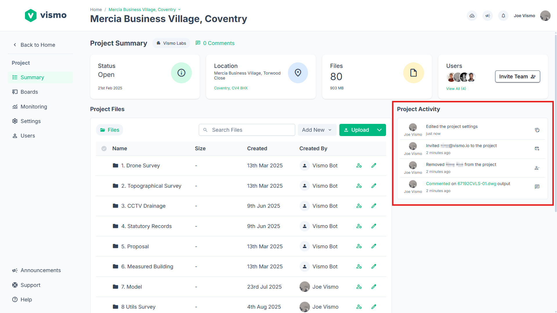
📁 File Manager → Document Workspace
We've made some new additions to the file manager:
- Preview panel — single-click any file for an inline preview.
- Three view layouts — details table, compact list, or thumbnail grid.
- Smarter uploads — drag-and-drop preserves your folder structure, zip files auto-extract, and a post-upload report shows what succeeded.
- Uploads that survive sleep — accidentally cancelled a big upload due to laptop sleep or page refresh? You can new resume your progress from the Uploads & ZIPs icon.
🆓 Introducing the Free Plan
Vismo now has a Free plan for everyone — no trial required. Get started with up to 3 projects, then upgrade for unlimited projects, users, and premium features whenever you're ready.
👀 Even More File Types You Can Preview
Open more files right in the browser — no downloading. Word documents (.docx) render as clean formatted pages, spreadsheets (.csv, .xlsx, .xls) open as interactive tables with search and sorting, and text/data files (.txt, .md, .json, .xml, .yaml, .log and more) display with readable styling. Plus enhanced image zoom.
📐 Floor Plans from BIM & Point Clouds
IFC (BIM) files now render as reliable 2D floor plans — one per storey — that you can measure on directly, with calibration handled automatically. We've also added floor plan generation from point cloud scans (LAS/E57): Vismo produces a clean 2D floor plan you can place on the map.
🥽 Virtual Tour Wizard
Turn your 360° captures into immersive walkthroughs. Step between panorama points, switch levels with the floor picker, and use the drawing wizard to geo-reference and scale your floor plan so your tour lines up perfectly with the real world.
📏 Centreline & Chainage
For roads, pipes, and routes: draw a centreline on the map and Vismo automatically calculates the chainage (distance along the route) for every pin, with left/right offsets and an ordered sidebar.
🗂️ Folder Templates, Project Groups
Create reusable folder templates so every new project starts with the right structure and arrange projects into named groups.